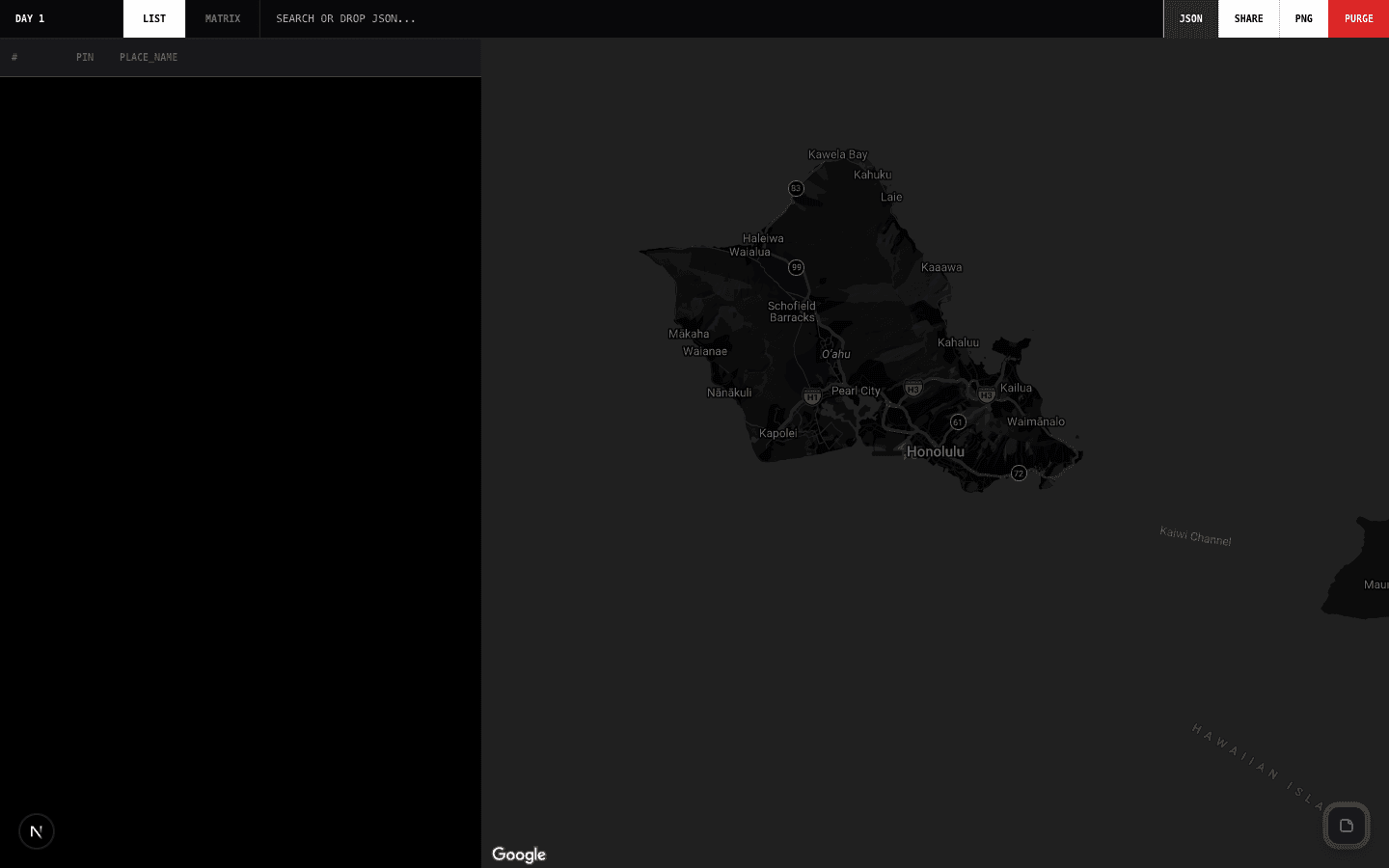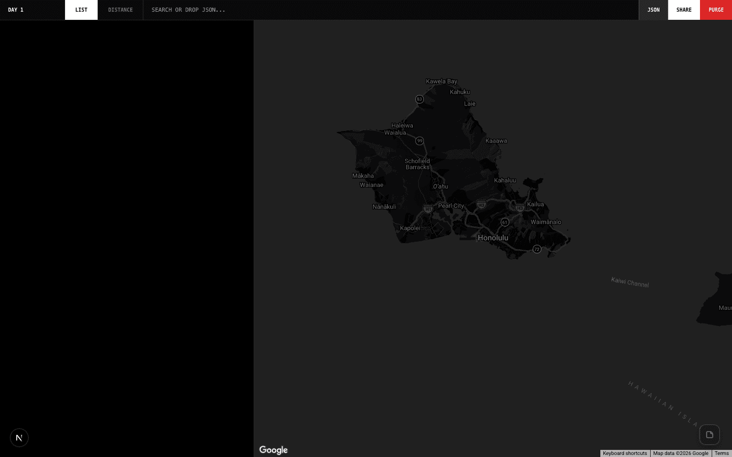
Distances — Tactical Location Mapper
Bunlong Heng
February 12, 2026
Distance Matrix questions come up constantly in logistics, field ops, and planning: how far is A from B from C? Distances maps it all out — visually and numerically.
What it does
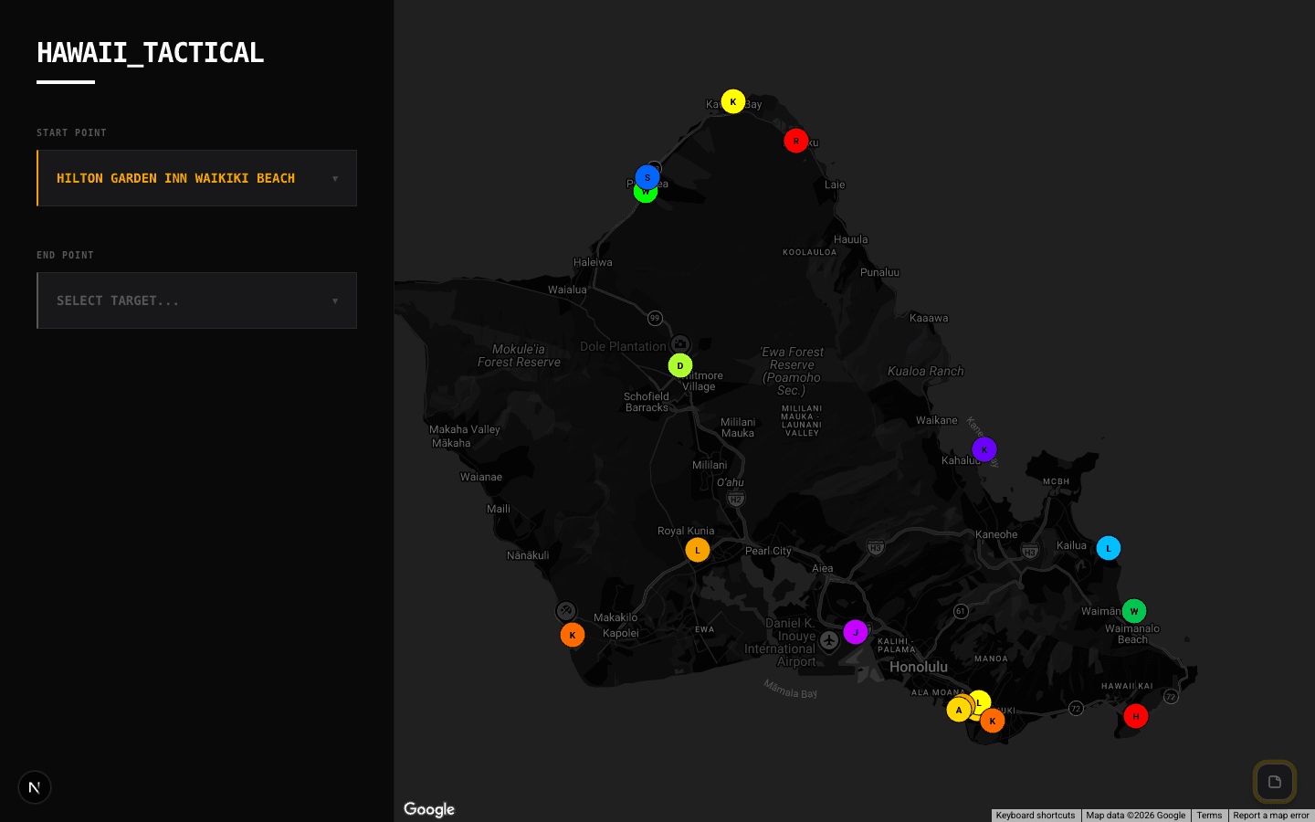
Add locations via Google Maps autocomplete. The map plots each point with a numbered marker. The distance matrix below shows driving distance and duration between every pair of locations.
Key features
Autocomplete search. Start typing an address, city, or landmark — Google Places fills it in.
Visual map. All locations plotted on an interactive Google Map. Pan and zoom to get context.
Full distance matrix. Every location-to-location pair in a table: kilometers and drive time.
Export/import JSON. Save your location set to a file, reload it later.
Share via URL. The current location set is encoded in the URL — copy and send to share the exact same view.
Built for
Field teams, delivery route planners, anyone who needs to quickly answer "how far between these places?"
Comments
Be the first to leave a comment.
Related Posts