Hawaii Tactical — Island Routing Tool
Bunlong Heng
February 13, 2026
Hawaii has a handful of essential destinations and no good quick-reference for the routes between them. Hawaii Tactical is the tool I built for exactly that.
What it does
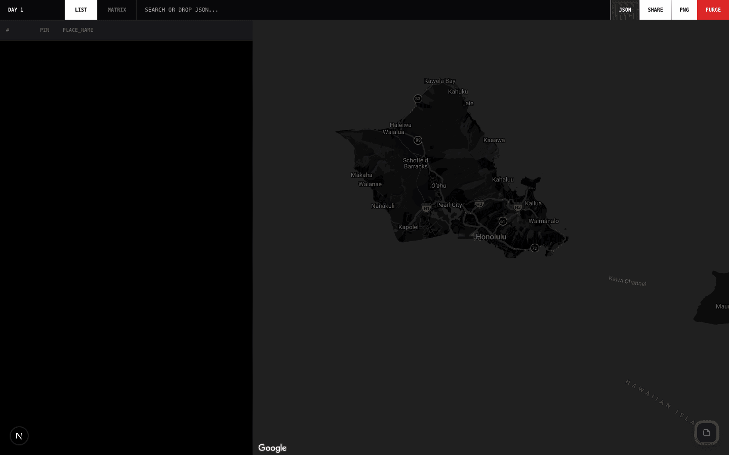
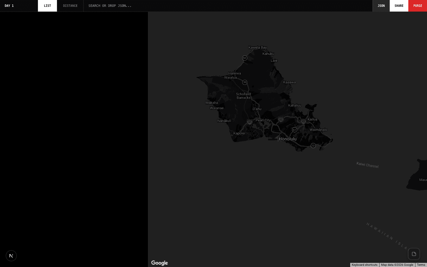
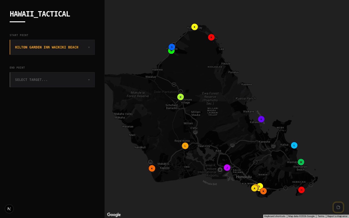
Pick a starting point and destination from a curated dropdown of Hawaiian locations — beaches, towns, airports, landmarks. The tool draws the route on Google Maps with an animated polyline, and shows driving distance and estimated duration.
Why a curated list
Google Maps general routing is great but requires typing. When you're on-island and just need "how long from Kailua-Kona to Hilo?", a dropdown is faster. The curated list covers the locations that actually come up — nothing more.
Technical
Animated polylines are drawn via the Google Maps JavaScript API. Distance and duration come from the Distance Matrix API, same as the main Distances tool — but optimized for the specific geography and destination set of Hawaii.
Comments
Be the first to leave a comment.
Related Posts